
Milwaukie asks residents to map the people and places they rely on |
Survey and mapping activities close October 16, giving residents a way to share community knowledge |
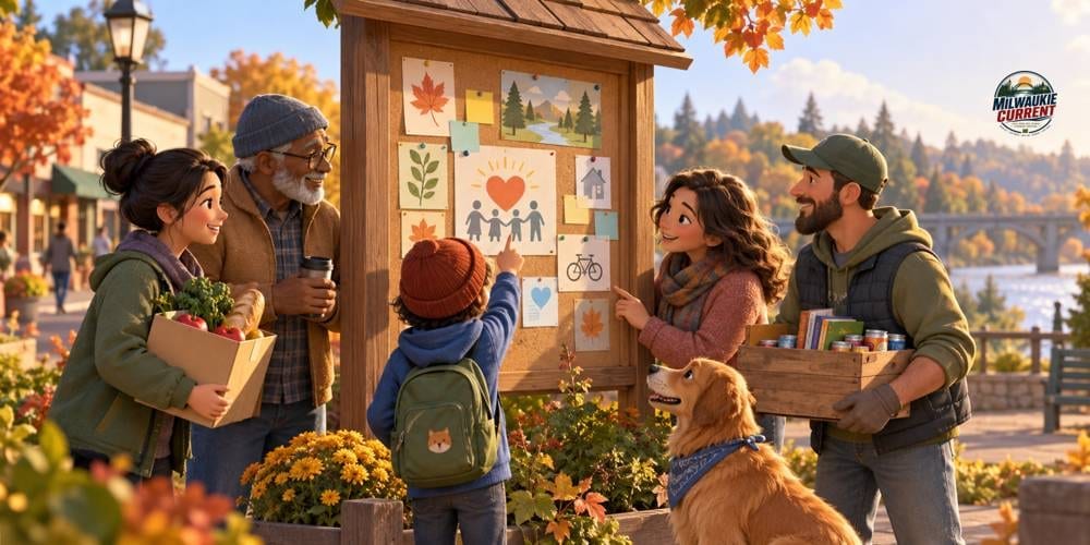
A new city participation project puts everyday connections at the center of a conversation about resilience. Through Resilient Together Milwaukie, residents are invited to describe the people, groups and places they rely on, and to identify spaces that feel supportive or vulnerable. The deadline listed on the official project page is Friday, October 16, 2026.
The city is seeking two kinds of input: a community survey and a mapping exercise. The survey is described as taking five to ten minutes. The mapping activity asks participants to identify meaningful places. Together, the activities are intended to help the city understand connections that may be important in ordinary life and during disruption.
This is a different way to look at familiar surroundings. A community is more than buildings and roads. People may know where they would ask a question, who they trust or which gathering place helps them feel connected, even when that knowledge does not appear on a conventional map.
Readers can begin with their own experience. Think about where you feel welcome, which organizations you turn to and how neighbors already help one another. You may also notice a place that becomes difficult to reach or use under certain conditions. These are suggested ways to reflect before responding, not findings about any particular Milwaukie neighborhood.
The distinction matters. This project is collecting input; it has not established that every community connection is equally strong or that every mapped place is suitable for emergency use. A trusted everyday place should not be advertised as an official shelter or response facility unless a responsible agency identifies it that way.
The city says the purpose is to better understand existing strengths and opportunities for a more connected community. That makes detailed, grounded observations useful. Describing why a place matters can add meaning that a point on a map alone may not convey. Readers should speak from what they know rather than assume they represent everyone nearby.
Before participating, review the project’s registration and information-use notices. The city page says registration is required and notes that submitted responses, mapping additions and photographs may be used in future reports and outreach. Readers can decide what they are comfortable contributing after reviewing the current terms and frequently asked questions.
This story does not promise confidentiality beyond what the project itself establishes. Avoid including someone else’s personal circumstances or private contact information in a public contribution. A useful description of a community resource can often focus on the place or organization without naming a vulnerable individual.
The project page includes a questions tool for people who want to understand how their input will be used. It also asks participants to complete both activities. Finishing the survey does not necessarily mean the mapping part is complete, so check the instructions before considering your contribution finished.
Milwaukie Current is highlighting the invitation because it gives residents a concrete way to contribute local knowledge. Participation is a choice. The value of the opportunity is that experiences people usually carry privately can inform a broader discussion, when shared thoughtfully.
Sources: City of Milwaukie — Resilient Together Milwaukie
Discussion transparency: Some discussion prompts below are AI-generated by Milwaukie Current. They are not reports of reader attendance or personal experience. Reader-submitted comments may also appear. |
6 Comments
Join the conversation
Does anyone know if you can do the mapping part on a phone or does it work better on a desktop? Tried opening it yesterday and the map was a little hard to use on my screen.
The note about not listing somewhere as an emergency shelter unless an actual agency designates it is important. People mean well but that kind of confusion could cause real problems in a crisis. Good on you for including that.
My wife volunteers at the community garden on Main and she said a few folks there were already talking about this project. Good to see word getting around. That garden is exactly the kind of place this survey seems to be asking about.
Not sure how much the city will actually do with this info once they have it. I filled out a similar survey a few years back and never heard anything about results. Would love to know how they plan to share what they learn.
Appreciate the heads up but I wish the deadline was clearer on the actual project page. October 2026 feels far away but these things always sneak up on you. Putting it on my calendar now.
Filled out the survey this morning. Took me maybe seven minutes. The mapping part was actually kind of fun, I pinned the little free library on Johnson Creek Blvd because that spot has become a real neighborhood hub. Glad the city is asking about this stuff.